EO AFRICA R&D Facility Online Course
Principles of and advances in Earth Observation
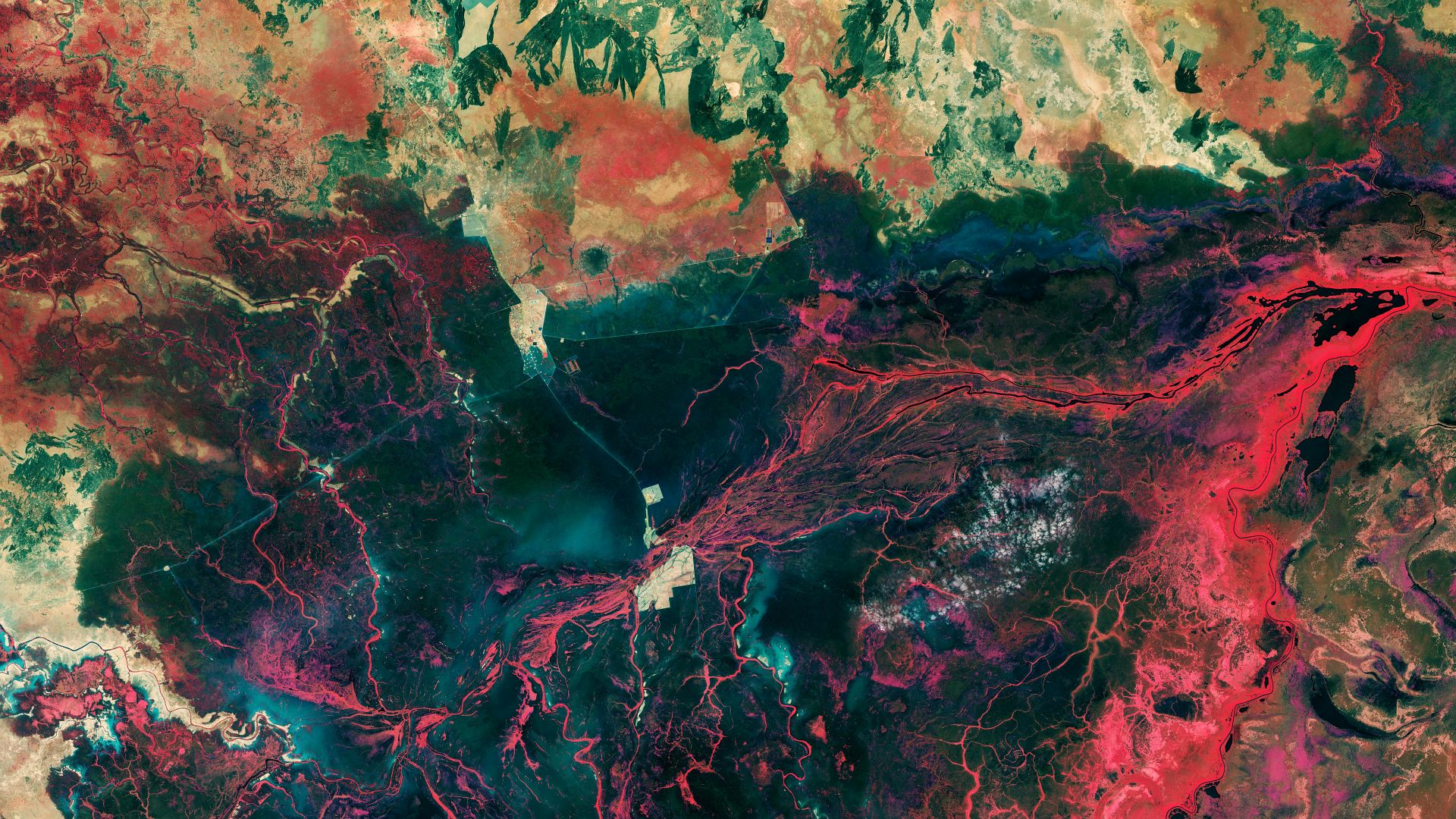
The landscape around the city of Bentiu in South Sudan featured in Copernicus Sentinel-2 image. Credits: contains modified Copernicus Sentinel data (2023), processed by ESA (CC BY-SA 3.0 IGO or ESA Standard Licence)
Introduction to the course
This online course equips participants with fundamental knowledge in Earth Observation (EO) to enhance their understanding and utilization of EO data. The course primarily focuses on optical data, exploring their advantages and limitations. Additionally, active remote sensing concepts are introduced. The curriculum combines theoretical lectures with practical assignments related to data processing for specific use cases. Participants engage with a variety of resources, including short videos, webinars, presentations, reading materials, and reference articles. Mandatory quizzes based on the lectures ensure successful completion of the training, and the issuance of a certificate provided by EO AFRICA R&D Facility.
This course will provide participants with:
- Fundamental knowledge on understanding the principles of passive and active remote sensing satellite data, their advantages and limitations.
- Introduction to Copernicus Programme, with a focus over the African continent (GMES&Africa), and the available software tools for EO analyses.
- Understanding of advances in using optical and SAR satellite imagery for applications related to monitoring of surface water extent and crops.
- Hands-on trainings on Innovation Lab developed by EO AFRICA R&D Facility with open-source software including SNAP and Jupyter Notebooks.
Mode of Delivery
The course consists of videos, PowerPoints, quizzes, and practical exercises, supplemented by reading material and reference materials. All materials will be offered through the Moodle Cloud learning platform. Participants are expected to digest the training materials independently (i.e., no live teaching is foreseen). Interaction with the teaching staff will be possible through a series of dedicated live feedback sessions (hosted through MS Teams) and a Q&A forum.
Prerequisites
Knowledge of Earth Observation principles and basic image processing techniques including Python programming language would be an asset, but it’s not a must.
Selection
The course will be offered to a maximum of 75 participants. Selection will be based on relevant academic background and employment. Only applicants working for an African-based organization are eligible. We will strive to have a gender-balanced and country-balanced group of participants. Preference is given to candidates working as (Ph.D.-) researchers, post-doc, and university staff. Selection will be made two weeks before the course starts. Participants are expected to notify their employer or institution about commitment to this online course.
Timeline:
Total Course duration will be 40 hours (estimated 10 hours per week for 4 weeks).
Additionally, five live sessions (60 min each) with teachers will be organised on:
- Monday, September 16, 10:00 AM – Live introduction to the course
- Friday, September 20, 15:00 PM
- Monday, September 30, 10:00 AM
- Friday, October 4, 15:00 PM
- Friday, October 11, 15:00 PM – course closure
- (All CEST-times which is UTC +2)