Blog

11th on the EO AFRICA R&D Facility Webinar Series

11th on the EO AFRICA R&D Facility Webinar Series

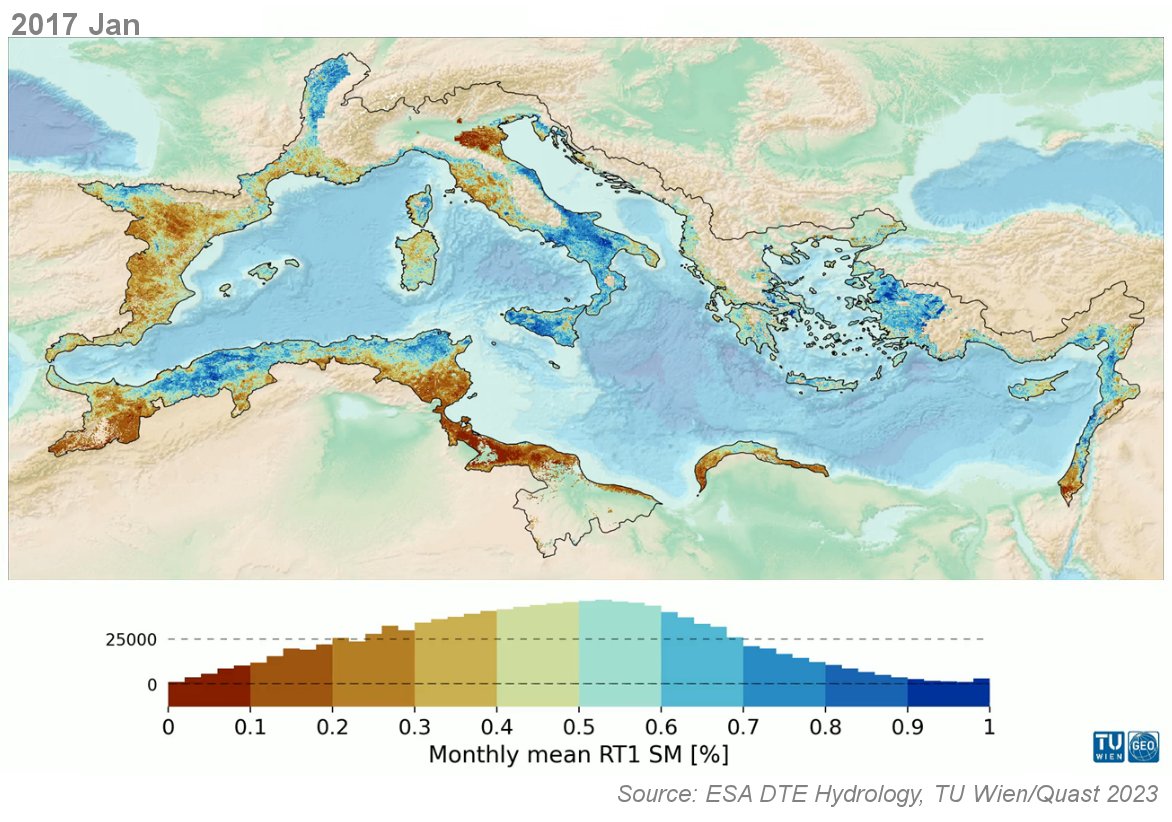
  • Surface Soil Moisture products at continental scale | June 13, 2023, 14:00 CET | Online webinar with live-chat | The webinar will give an overview of high-resolution (1 km) satellite soil moisture data sets available at continental to global scale. These data sets are either derived by downscaling coarse resolution data from passive (SMAP, SMOS, AMSR2) and active (ASCAT) microwave sensors using optical or Synthetic Aperture Radar (SAR) data, or by deriving the soil moisture data directly from only the SAR data.
Read more
10th on the EO AFRICA R&D Facility Webinar Series

10th on the EO AFRICA R&D Facility Webinar Series

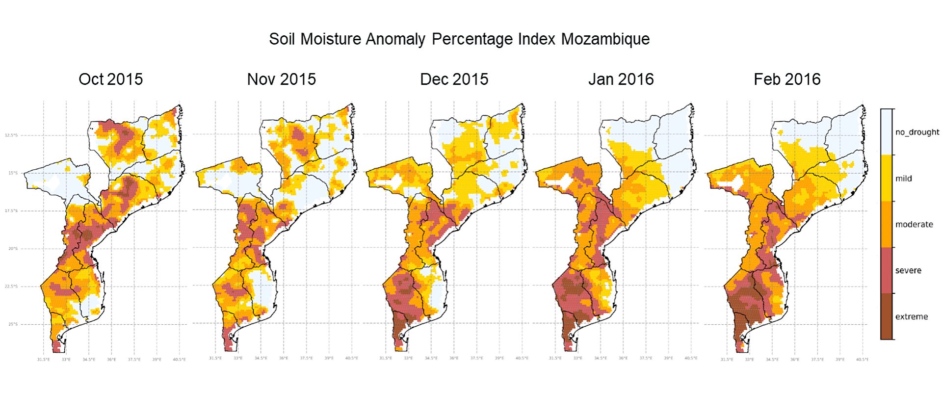
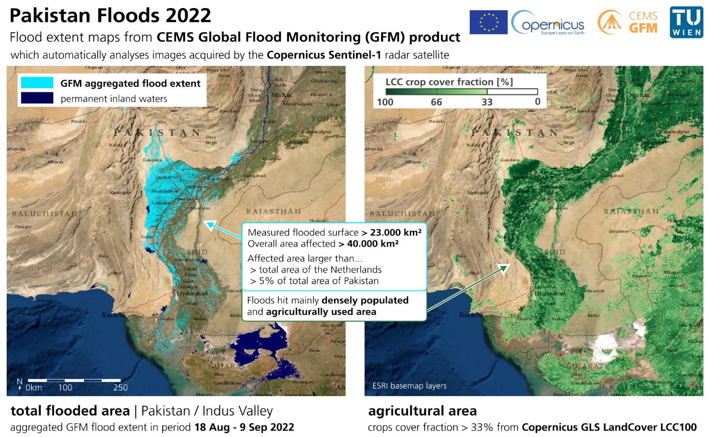
  • Drought Monitoring case studies in Africa | April 11, 2023, 14:00 CET | Online webinar with live-chat | The webinar will describe ways to monitor drought events using microwave Earth Observation data. Existing methods for the calculation of climate normals, anomalies and drought indicators will be described and demonstrated over Africa. The strength and weaknesses of the indicators and an evaluation with common drought indicators such as Standardized Precipitation Index will be discussed. Furthermore, the use of soil moisture for early season yield prediction will be discussed.
Read more
8th on the EO AFRICA R&D Facility Online Courses

8th on the EO AFRICA R&D Facility Online Courses

  • Assessing potential use of water resources in an African river basin | June 19 – July 14, 2023 | Online course with live-chat | This online course will show participants how to relate the water balance components (precipitation, evaporation, run-off and groundwater recharge) to identify surpluses of water and possible potential usage of those water resources in the area.
Read more
7th on the EO AFRICA R&D Facility Online Courses

7th on the EO AFRICA R&D Facility Online Courses

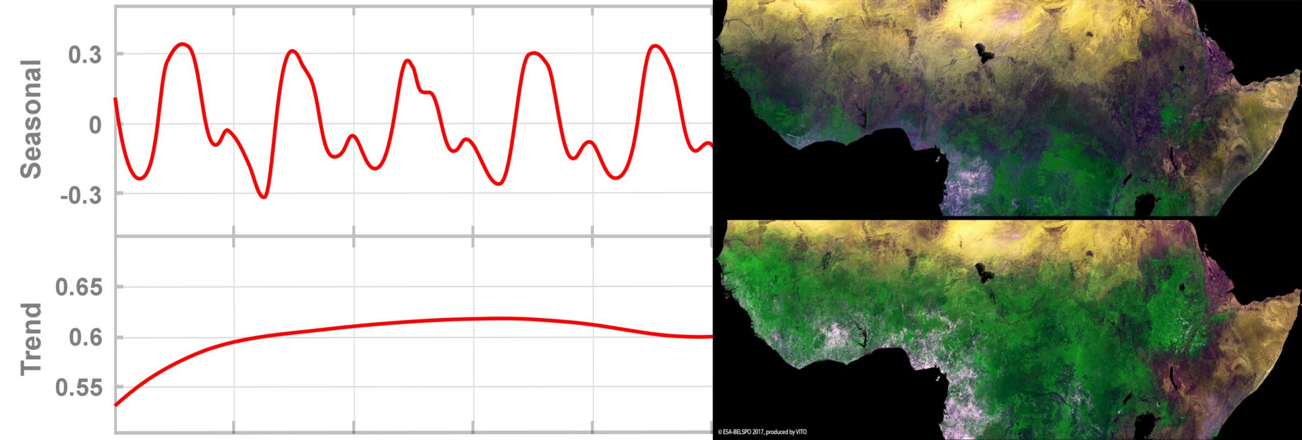
  • Monitoring Vegetation Dynamics from Space | April 3 – 28, 2023 | Online course with live-chat | In this course, you will be exploring the potential of the temporal dimension of satellite EO data for monitoring vegetation dynamics and land cover/land use changes over longer periods of time. Aside from learning the theoretical concepts of hyper-temporal monitoring, the participants will acquire practical skills in how to acquire, pre-process and analyse long time series of satellite EO data.
Read more