EO AFRICA R&D Facility Online Course
High-resolution crop monitoring for food security using EO

Introduction to the course
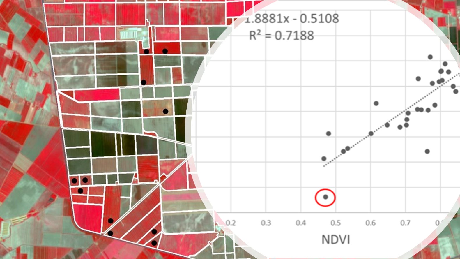
The ever-increasing spatial resolution offered by the newest generation of satellite sensors allow us to monitor crops at the scale of individual parcels and to quantitatively estimate or predict agricultural production (area × yield) and water-use for applications in food security analysis.
This course will provide/present participants with:
- The most relevant data sources and data analysis techniques related to parcel-based crop monitoring and crop yield estimation.
- An introduction to cloud-based EO data processing, including hands-on experience in applications such as crop type mapping and deriving crop phenology metrics.
- Knowledge on the primary plant functions photosynthesis and evapotranspiration (ET) in the context of the surface energy balance with the aim to build EO-based methods from the ground up.
- Practical assignments that employ Sentinel-2 and Landsat-9 image data to estimate the fraction of photosynthetically available radiation and land surface temperature as proxies for agricultural production and water-use, respectively.
Mode of Delivery
The course consists of videos, PowerPoints, quizzes, and practical exercises, supplemented by reading material and reference materials. All materials will be offered through the Moodle learning platform. Participants are expected to digest the training materials independently by themselves (i.e., no live teaching is foreseen). Interaction with the teaching staff will be possible through a series of dedicated live feedback sessions (hosted through Zoom) and a Q&A forum.
Prerequisites
The participants are expected to have a basic knowledge on Earth Observation, Python programming and the use of cloud environments for EO image processing. All these can be acquired by attending the first two online courses of the EOAFRICA RDF series (OC 1: Cloud Computing and Algorithms for EO Analyses; OC 2: Principles of and advances in Earth Observation). Access to both courses will be given to those selected to attend this online course. Although having participated in those courses is certainly an advantage, candidates are not expected to have attended this course.
Selection
The course will be offered to a maximum of 65 participants. Selection will be based on relevant academic background and employment. Only applicants working for an African-based organization are eligible. We will strive to have a gender-balanced and country-balanced group of participants. Preference is given to candidates working as (Ph.D.-) researchers, post-doc, and university staff. Selection will be made two weeks before the course starts to provide early access to prerequisite online courses on Cloud computing and EO.
Certificate
You will receive a certificate of completion upon completing the End of Exercise Assignment.
Registration:
Teachers:
-

Associate Professor – Department of Natural Resources, Faculty ITC of the University of Twente
https://people.utwente.nl/m.t.marshall
m.t.marshall@utwente.nl -

R&D Professional – Agricultural Applications, VITO Remote Sensing
https://remotesensing.vito.be/team/jeroen-degerickx
jeroen.degerickx@vito.be
