Version 3 of the MOOC on Drought Assessment and Monitoring from Space is launched. The Chapters on Cloud Computing and Earth Observations Advances have been updated. Some additional webinars are included in the MOOC v3. For the presentations, both French and English subtitles can be displayed over the presentation.
This MOOC provides an introduction to “Droughts”, and answers questions on how it can be quantified, and how it can be assessed and monitored from space. The role of cloud computing and (easy) access to satellite will also get attention. No prior knowledge of Earth Observation (EO) is required. The MOOC provides a “smooth” introduction for agricultural scientists, water resources specialists and others who are interested in water and food security and the role EO plays nowadays related to this theme.
For those who want a Certificate of Completion, it is essential that after completing each section of the MOOC you do the Quiz. Only after scoring 60% or higher on all quizzes, you should get a certificate stating active participation and completion of the MOOC.
If you are not active for 60 days you will be automatically de-enrolled from the course.
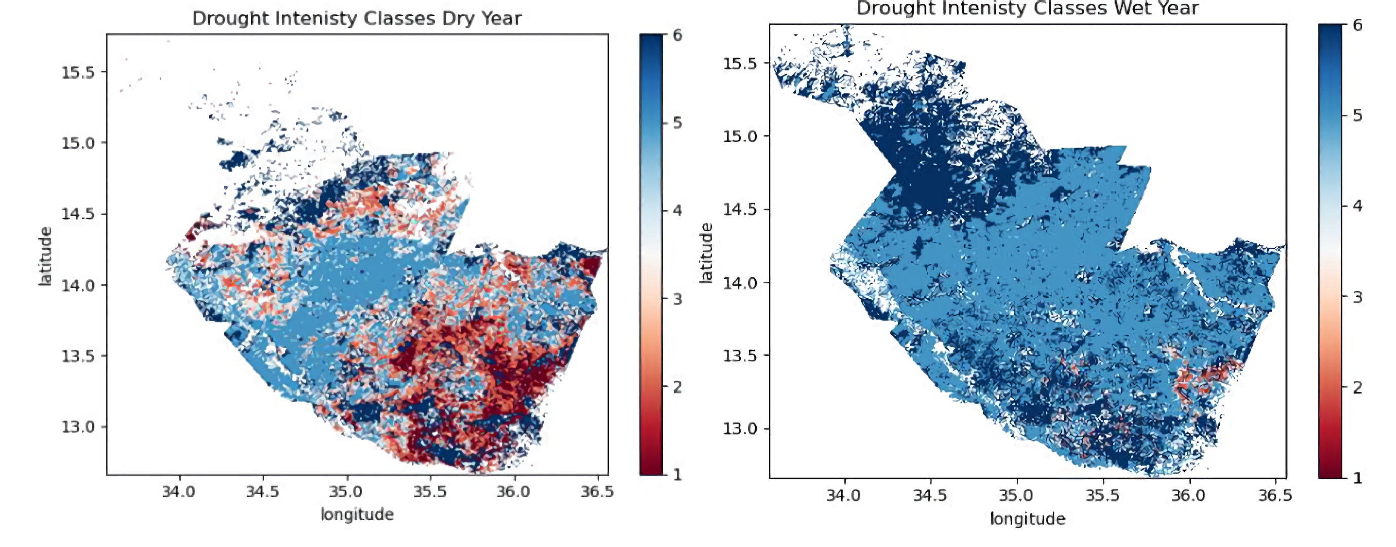
As for the figure, we can use this one below (provided that the resolution is good enough). I am looking for a figure at continental level that may work for the banner… in the meantime we can keep the existing one.

The following topics will be treated:
| Topic | Short description of the topic | |
|---|---|---|
| 1 | MOOC overview | Introducing the participants on objectives and set-up of the MOOC |
| 2 | Vegetation and Drought Monitoring from Space | Introduction: types of droughts, drought in historical perspective |
| 3 | Copernicus Programme, Sentinel satellites – EO for Africa | Copernicus programme, history, satellite characteristics, data services, Land Service products, GMES and Africa / EO AFRICA Initiative |
| 4 | Jupyter notebooks and Cloud Computing | Use of Jupyter Notebooks and Cloud for EO studies |
| 5 | EO software tools | Software tools for EO analyses; (SNAP, QGIS) |
| 6 | EO based information for vegetation and drought monitoring | From spectral indices to advanced information products. |
| 7 | Observing the Water Cycle from Space | Introduction to the water cycle(s) and their quantification by satellite data |
| 8 | Monitoring Vegetation Dynamics from Space | Hyper-temporal monitoring of ecological systems |
| 9 | Evapotranspiration from Space | Methodology and Products |
| 10 | Soil Moisture Dynamics from Space | Soil moisture products at continental scale |
| 11 | Crop Monitoring and Yield Estimation from Space | Use of ETa as a proxy for yield estimation |
| 12 | EO AFRICA R&D Facility | Explanation of EOAFRICA R&D Facility Phase 2, essential elements and courses |
Registration in the EO AFRICA Community is required for this MOOC. Register in the portal, complete your profile by filling in the mandatory profile fields (affiliation, country of affiliation, address of affiliation and phone number), and then make an access request to the MOOC platform.
