EO AFRICA R&D Facility Online Course
EO for Marine and Coastal Resources Applications (EO4COAST)

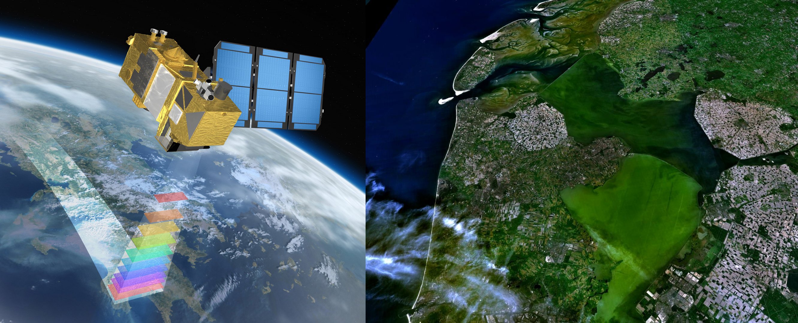
Sentinel 2 Satellite, and a true colour composite from Sentinel 2 – MSI image acquired on 30 April 2023, CC BY-SA 3.0 IGO or ESA Standard Licence
Introduction to the course
This online course aims to provide the participants with the competence to use Earth Observation (EO) data and products to leverage the management of marine and coastal aquatic resources and policymaking.
The main objective is to deepen and broaden the knowledge and practical skills of participants in using EO products and applications for the integrated management of aquatic resources in deltas. The course includes technical skills and know-how about EO data, products, and applications and, more importantly, global phenomena related to ocean-land-atmosphere interactions. EO products and applications are fundamental components of the planned course and form the backbone of the teaching from the start to the end. Therefore, the course will not only focus on the more generic building stones of remote sensing of aquatic resources but also on the wider scope of applications that address the water-atmosphere-land nexus.
Mode of Delivery
The course consists of videos, PowerPoints, and practical exercises, supplemented by reading material and reference materials. All materials will be offered through the Moodle Cloud learning platform.
Participants are expected to digest the training materials independently (i.e., no live teaching is foreseen). Interaction with the teaching staff will be possible through a series of dedicated live feedback sessions (hosted through MS Teams) and a Q&A forum.
Prerequisites
Knowledge of Earth Observation principles and basic image processing techniques including Python programming language would be an asset, but it’s not a must.
Selection
The course will be offered to a maximum of 75 participants. Selection will be based on relevant academic background and employment. Only applicants working for an African-based organization are eligible. We will strive to have a gender-balanced and country-balanced group of participants. Preference is given to candidates working as (Ph.D.-) researchers, post-doc, and university staff. Selection will be made two weeks before the course starts. Participants are expected to notify their employer or institution about commitment to this online course.
Timeline:
Total Course duration will be 40 hours. (estimated 10 hours per week for 4 weeks)
Additionally, five live sessions (60 min each) with teachers will be organised on:
- Monday, January 27, 10:00 AM – Live introduction to the course
- Monday, February 03, 10:00 AM
- Monday, February 10, 10:00 AM
- Monday, February 17, 10:00 AM
- Friday, February 21, 10:00 AM
- (All CET-times which is UTC +1)
Certificate
You will receive a certificate of completion upon completing the End of Exercise Assignment.
Registration:
Teachers:
-

Associate Professor – Faculty of Geo-information Science and Earth Observation (ITC), University of Twente.
https://people.utwente.nl/s.salama
s.salama@utwente.nl
