Month: January 2025

18th on the EO AFRICA R&D Facility Webinar Series

18th on the EO AFRICA R&D Facility Webinar Series

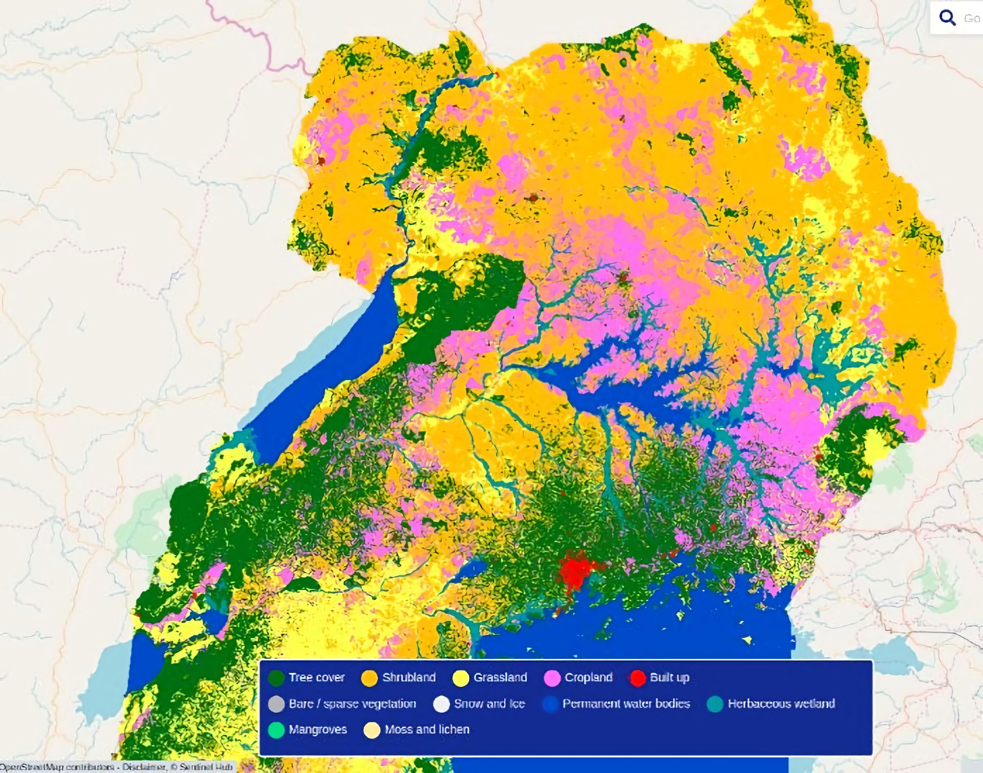
  • Mapping Our Planet in High Resolution: Advancing Land Cover and Degradation Monitoring with Sentinel Data | Wednesday, 5 February 2025, 14:00 CET (UTC + 1) | Online webinar with live-chat | This webinar explores how these innovations, coupled with emerging datasets and services, are being utilized to monitor global land cover and land degradation, supporting sustainable development and environmental conservation. Specifically, the webinar will delve into experiences of producing the 100m Copernicus Global Land Cover dataset (available for 2015–2019), the European Space Agency (ESA) WorldCover Project, which has further advanced land cover monitoring by producing 10m resolution global land cover maps, and the new Copernicus Land Cover and Tropical Forest Monitoring Service (LCFM), designed to provide dynamic, high-resolution datasets on the status and changes of global land cover and pan-tropical forests.
Read more